
Well, since the title is what it is, it seems reasonable to start with a photograph of the River Dart taken from a boat on the river in the summer. Ahead is the town of Dartmouth and somewhere in that huddle of properties just above the waterline will be found Evie’s Boathouse with The Merchants House a little above it.

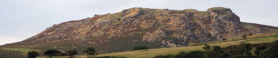
Having said that, the action is not confined to the town but extends along the coast the village of Torcross which lies curled around the southern end of an incredible stretch of fresh water separated from the sea by no more than a shingle bank . . .

. . . as shown here. At the far end is the village of Torcross which, not surprisingly, often suffers during winter gales and much money has been spent on protecting it and keeping the road that runs along the bank open. In recent times a section had to be rebuilt some twenty yards nearer the salt water lake known as ‘Slapton Ley’ (pronounced ‘lee’).

Dartmouth has a long history and this is reputed to be the oldest property in the town. It was once a merchant’s house but is now a public house called The Cherub where you can buy excellent food. Note the steep steps leading down to the river to the left of the building.

There is no doubt but that the boat float is at the centre of the town. This picture was taken in the fifties when Cundells was still the grocer that served the town.

This is a more modern photograph and very little has changed. The Royal Castle sits squarely on ‘The Quay’ as it is still called from the days when there was no boat float and it was here that merchant ships tied up.

Another reminder of the history of the town is that the road running along the southern side of the boat float is known as Spithead.

Dartmouth is made up of two separate communities which did not come together until the 1200’s or thereabouts. They are separated by a valley that runs into the hills to the west from the boat float. Towards the river mouth is Clifton where The Cherub stands whilst upriver is Hardness (a ‘nose’ of granite). They were first connected by a dam across the valley – known as a ‘Fosse’ – and modern Foss Street (now pedestrianized)is built on that dam. In the background is St Saviour’s Church.

The flat part of the town is all made ground. Indeed, the area where the main car park is situated is called The New Ground although it was filled in many years ago. This means that all the best bits are easily explored on foot – just as well as the narrow roads in the town tend to be overwhelmed by the traffic these days. The Butterwalk is certainly well worth exploring. We are looking down from the boat float towards the junction with Foss Street. The Butterwalk was rather longer than this but was hit by a bomb in the last war.

Another road it is good to wander through slowly with your eyes kept well peeled is Fairfax Place. Here we are at another corner of the boat float looking into it. . .

. . . and here, having wandered some way along it, we are looking back the way we came.

Love the photos .It makes the story more real to those who have never been to Dartmouth.Thoroughly enjoyed the book and now my daughters are waiting to read it x
LikeLike